
High-precision map data, off the shelf.
Browse Ecopia's library of 3D land cover, transportation, and site data, then download exactly the area you need.
United States & Canada
Search an address, pick your layers, see the price, and download in as little as 30 minutes.
$100 in free credits for new users.
Everywhere else
Ecopia has mapped 100+ countries. Outside North America, our team scopes a custom extraction from the latest imagery for your area of interest.
Three steps between an address and a download.
Search
Search any US or Canadian address or draw your area of interest. Check the imagery date before you spend anything.
Quote
Pick the layers you need. The price updates as you go, and your free credits apply to your first orders.
Download
Get shapefile, GeoJSON, or DXF in as little as 30 minutes. Areas outside ready-to-serve coverage take about one business day.
Three datasets, ready to order.
Get access today
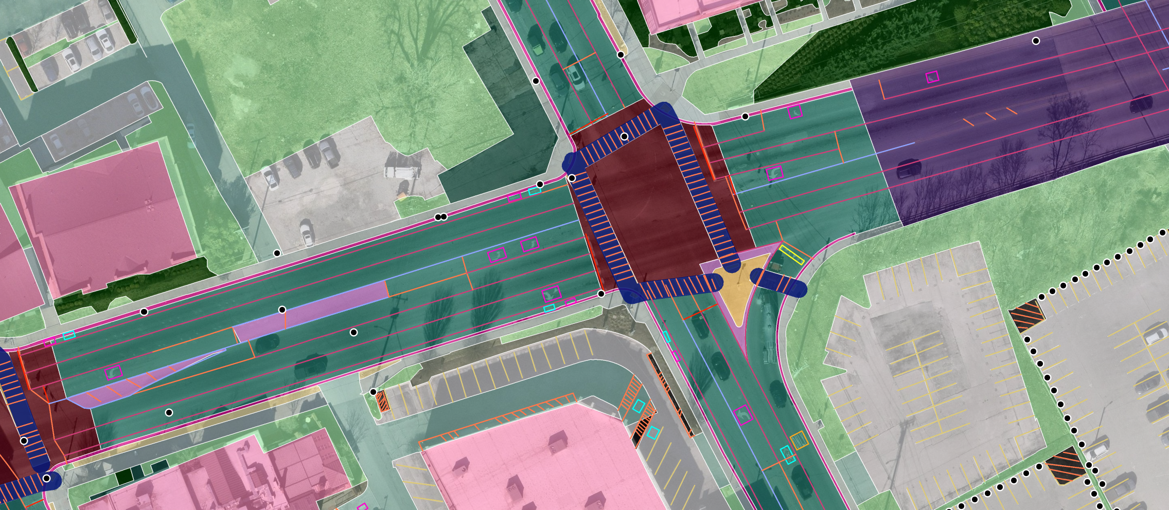
3D Land Cover and Stormwater
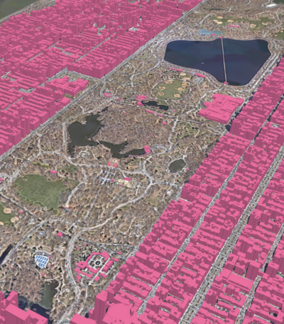
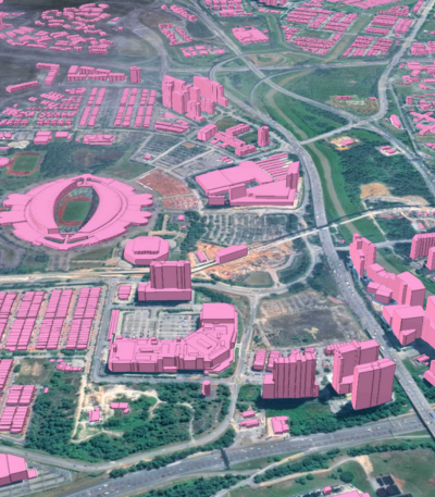
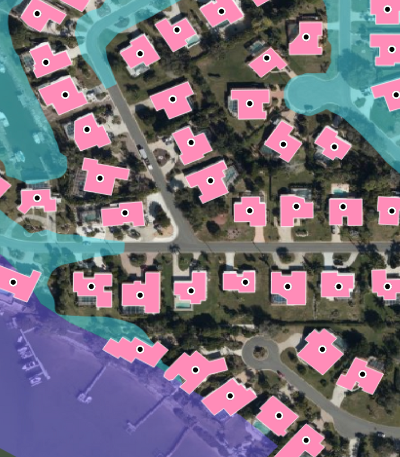
Buildings with heights, roads, sidewalks, driveways, parking, pavement, tree canopy, grass, and water, for impervious surface mapping, stormwater fees, and land use planning.
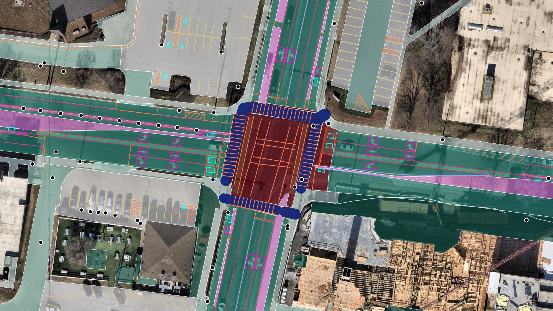
Advanced Transportation Features
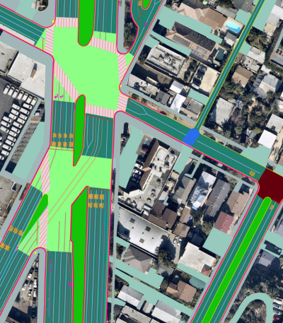
Road lanes, painted markings, crosswalks, bike lanes, medians, back of curb, edge of pavement, and parking, for right-of-way, safety, and permitting work.
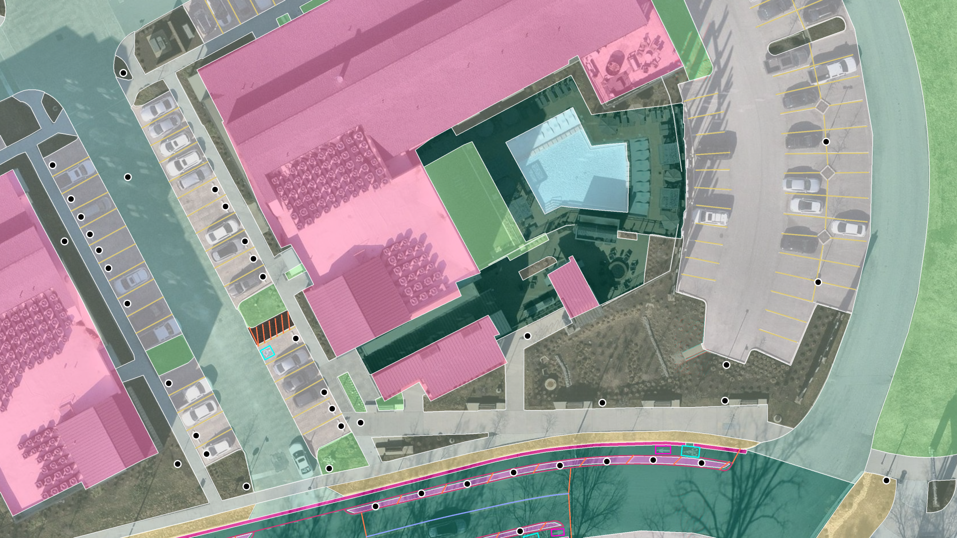
Landscape and Site Planning
Turf, planting beds, hardscape, parking, and structures measured from aerial imagery, for landscape bids, snow and paving estimates, and site plans.
Built on the same data, available through our team.
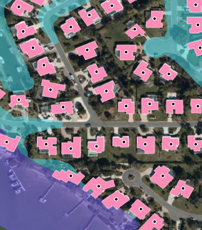
Building-Based Geocoding
180 million US building footprints with rooftop-level geocodes and parcel context, for insurance, telecommunications, and public-safety analysis.
Roof Measurements
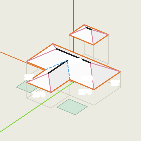
Roof measurements from aerial imagery for US properties. Order by address or in bulk, delivered as a roof report for easy integration with existing workflows.

Global Feature Extraction
Different feature classes, a different country, or your own imagery. Ecopia scopes custom extraction anywhere in the world.
Off the shelf across the United States and Canada. Custom everywhere else.
with 3D Land Cover ready for instant download
the only complete US dataset
delivered at engineering-grade accuracy
mapped through custom extraction
From imagery to vector features, at engineering-grade accuracy.
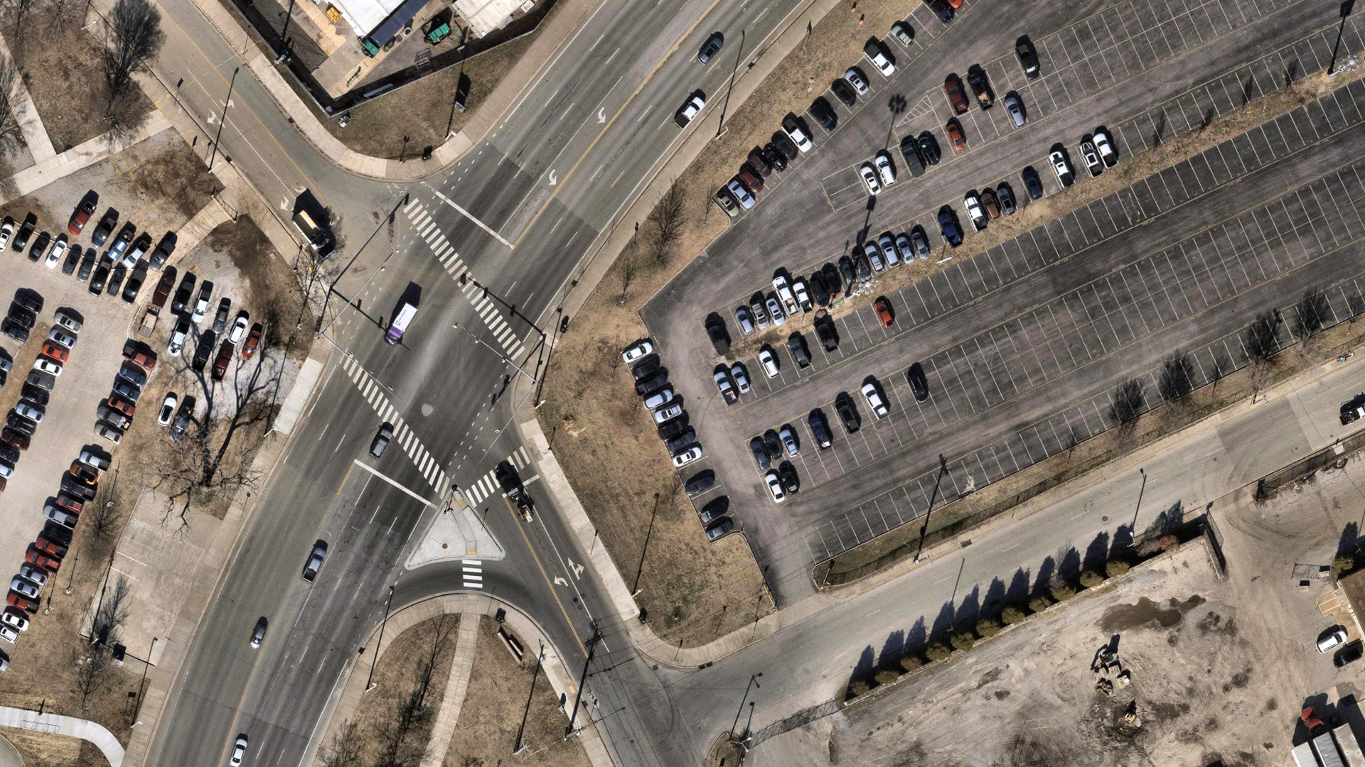
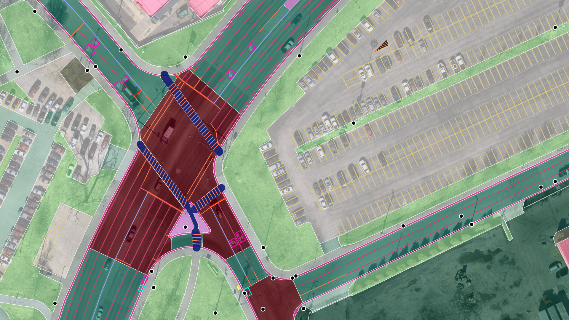
Lanes, crosswalks, painted markings, parking stalls, and land cover at a Nashville intersection.
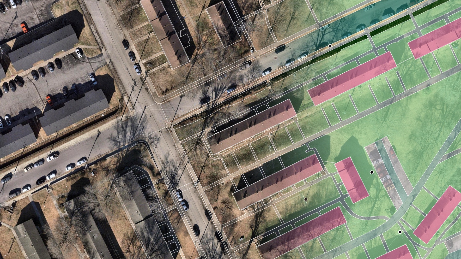
Buildings, grass, sidewalks, driveways, and road edges across a Nashville neighborhood.
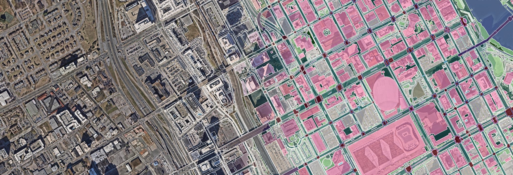
Downtown Nashville and the Gulch, from imagery to vector.
Every feature in the platform. Pick only the layers you need.
Buildings and structures
- Buildings, with heights
- Bridges
- Swimming pools
- Solar panels
- Airports
Roads and paving
- Road segments
- Road intersections
- Driveways
- Sidewalks
- Parking areas
- Pavement
- Railways
- Sports grounds
- Planting strips
Lanes and markings
- Road lanes
- Bike lanes
- Crosswalks
- Stop lines
- White and yellow road lines
- Parking lines
- Road medians
- Back of curb
- Edge of pavement
- Traffic sign markings
- Painted speed bumps
- Keep clear and no parking areas
- ADA detectable warning pads
Landscape and natural
- Tree canopy
- Forest
- Grass
- Shrubs
- Mulch
- Bare land
- Water
- Agriculture
Delivered as shapefile, GeoJSON, or DXF, or through the API.
Get access todayHundreds of commercial and government organizations rely on Ecopia data.


































Custom feature extraction, anywhere on Earth.
Send us your imagery or let us source it. Ecopia's AI-based mapping systems extract land cover, transportation features, and 3D buildings at continental scale, anywhere in the world.
Do I need my own imagery?
No. For the United States and Canada, Ecopia sources and processes the imagery. You choose the area and the layers.

Which areas are covered?
Off-the-shelf data covers the United States and Canada. 3D Land Cover is ready for instant download in 400 US cities and Canada's largest cities, and other US and Canadian areas are processed on order in about one business day. Search any address in the platform to check before you order.
How is the data priced?
Per area, based on the layers you choose. Search an address or draw your area of interest, pick your layers, and the price updates as you go, before you pay anything. There is no subscription.
What do the free credits cover?
New users get $100 in free credits, which covers several typical orders. You only pay when you order beyond them.
How accurate is the data?
Engineering-grade. Every dataset is extracted from high-resolution imagery and checked by Ecopia's quality assurance team before delivery.
Feature boundaries within 3 pixels of the source imagery, with 5% or fewer missed or false features.
What formats do I get?
Shapefile, GeoJSON, and DXF, plus API access for automated workflows.
Does the data work in ArcGIS, QGIS, and AutoCAD?
Yes. Shapefile and GeoJSON open directly in ArcGIS Pro, QGIS, and other GIS software, and DXF opens in AutoCAD and other CAD tools.
What coordinate system is the data delivered in?
UTM on the WGS84 datum, in the zone that covers your area, unless you request a different projection.
How current is the data?
Every feature carries the date of the imagery it was extracted from, so you can check currency before you order. Metro areas are refreshed at least once a year, and major metros two to three times a year.
I'm outside North America. What are my options?
Talk to sales. Our team scopes a custom extraction from the latest imagery for your area, with the feature classes and attributes you need.
Start with $100 in free credits.
Create a free account to browse the library and download your first area.